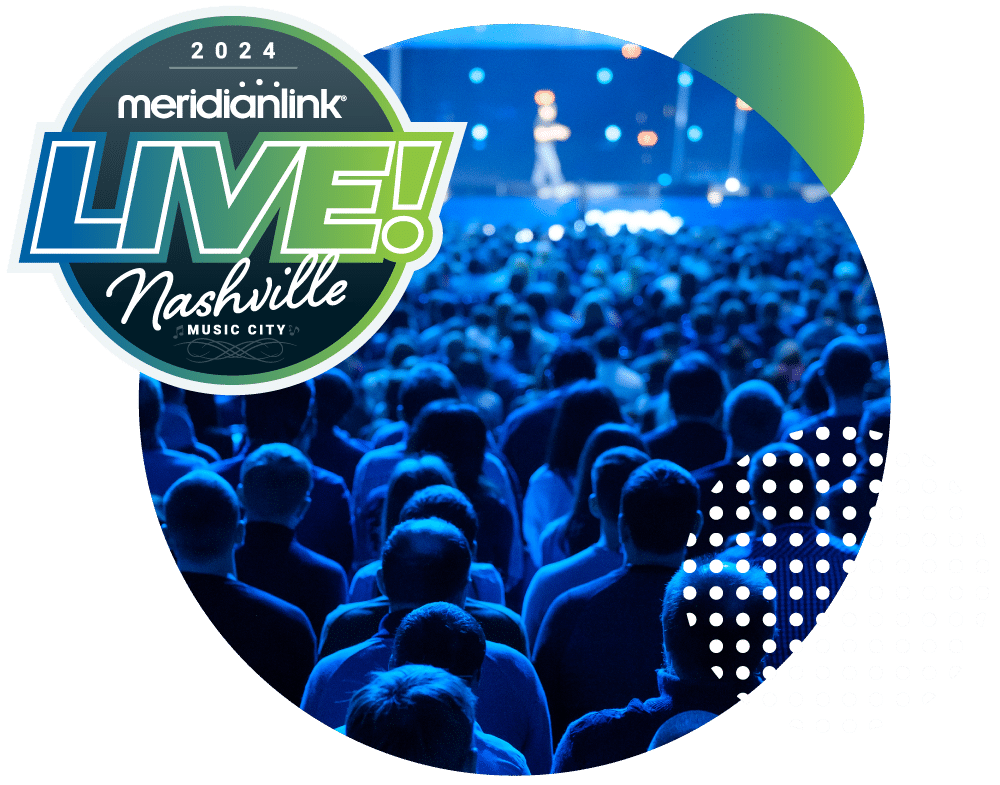
JOIN US!
MeridianLink LIVE! 2024
Where Innovation Meets Inspiration
MeridianLink® LIVE! 2024 will be held April 29 – May 2 at the Gaylord Opryland Resort in Nashville, TN! Our team can’t wait to welcome you to this LIVE event filled with insightful presentations, training sessions, product showcases, network opportunities, and more.
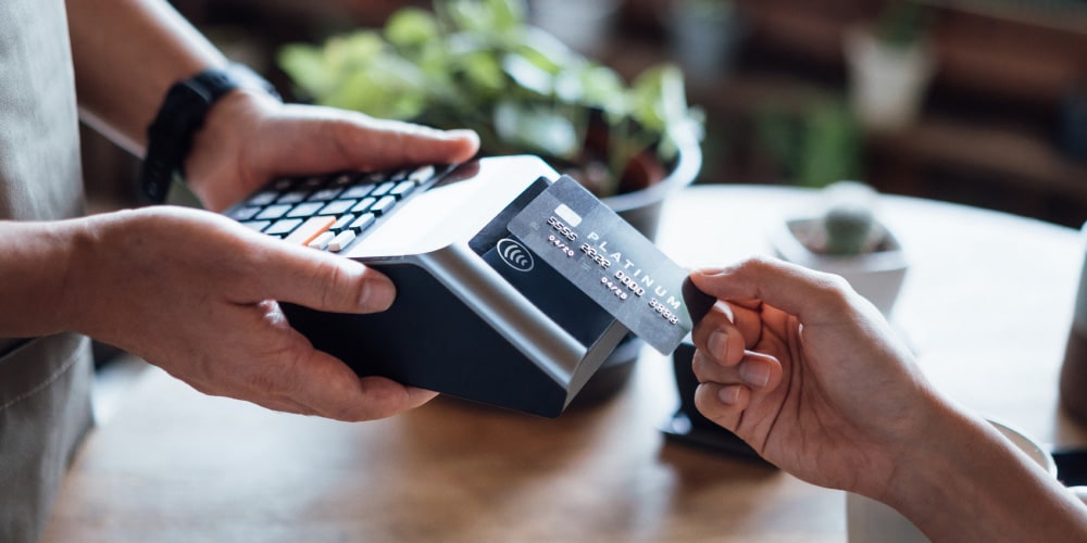
#1 Digital Lending Platform
Connecting you to
better technology
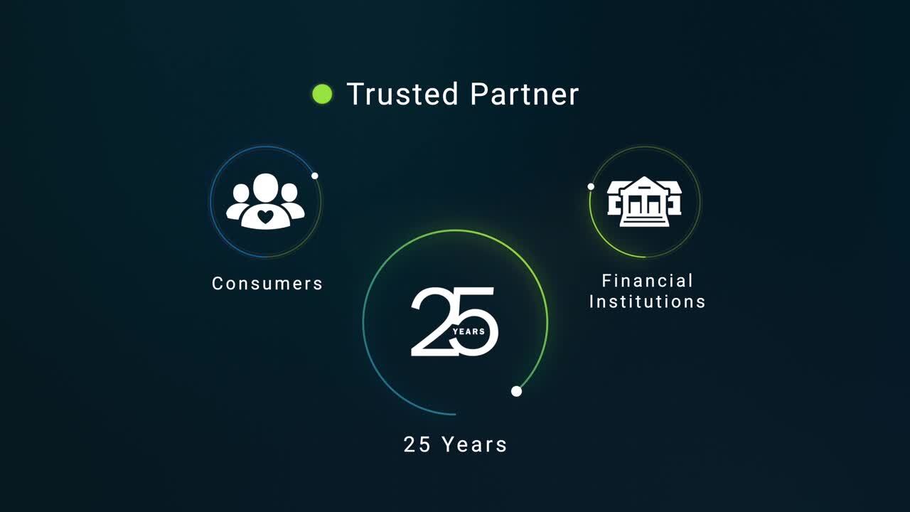
MeridianLink® One empowers financial institutions to develop lifelong financial management relationships to support a consumer’s entire financial journey.


Chat with our experts — learn how
you can develop lifelong financial management relationships to support a consumer’s entire financial journey.